Clara Zimmermann · 6 September 2026
Mistvale's Student Researchers Turn Science Fair Win into Local Conservation Blueprint
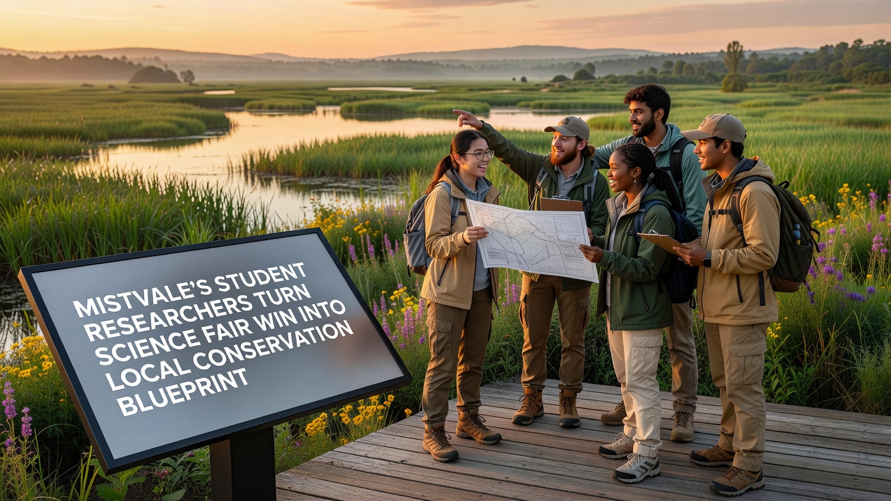
Students at Mistvale High School developed a data-driven conservation plan after their project earned top honors at the regional science fair in September 2026 and local officials adopted the framework for ongoing habitat protection efforts. The team analyzed soil samples, tracked species movement, and mapped erosion patterns across the eastern woodlands, then compiled their findings into a replicable blueprint that the town planning department now references for restoration projects.
Project Origins and Data Collection Methods
Three juniors assembled the winning entry during the spring semester, focusing on how seasonal rainfall affects native plant recovery in areas previously cleared for trail expansion. They collected readings at fifteen fixed points over eight weeks, measuring pH levels, nutrient content, and root density while cross-referencing their observations with satellite imagery provided by the county extension office. Their methodology drew on protocols outlined by the U.S. Environmental Protection Agency for small-scale wetland assessments, which allowed the students to produce comparable results without specialized laboratory equipment.
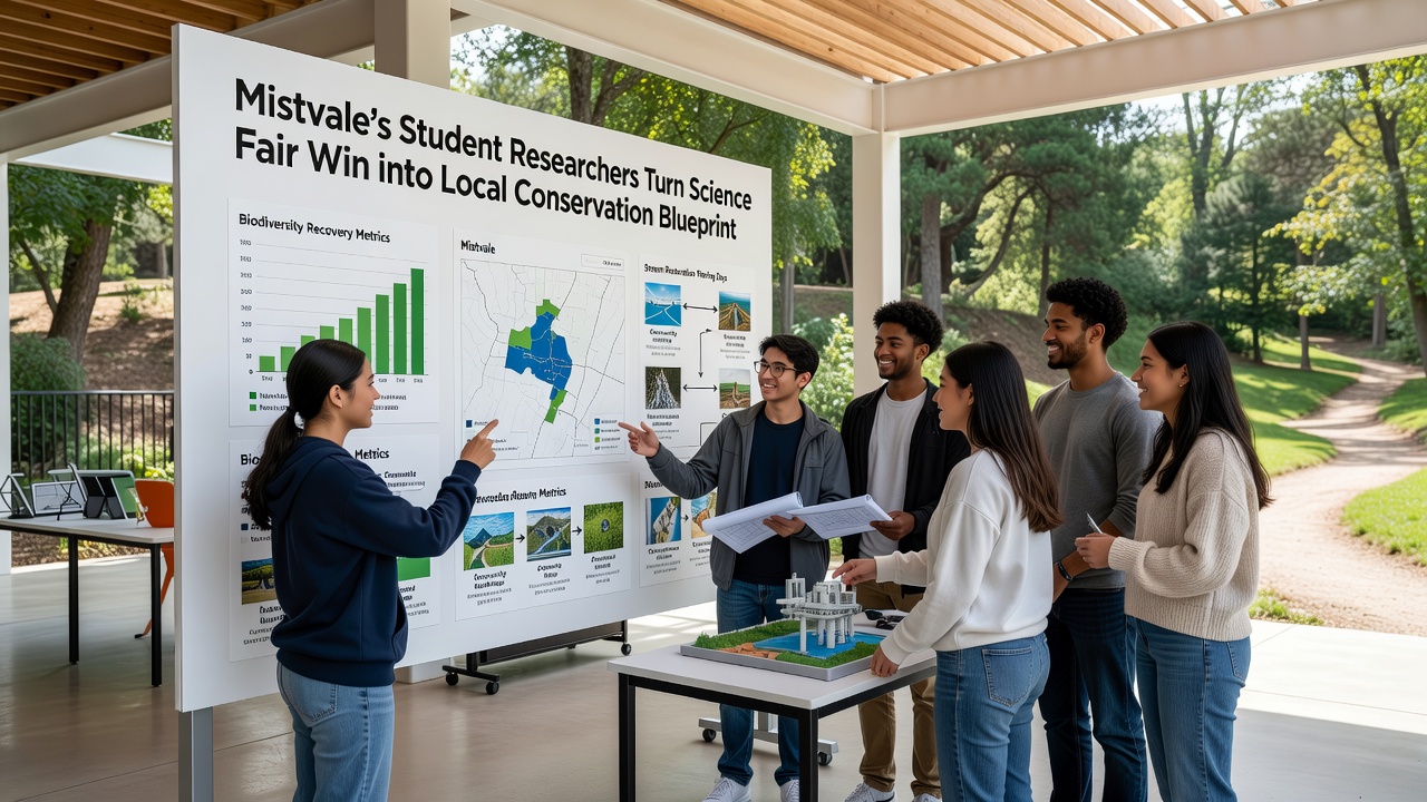
Findings showed elevated sediment loads in two drainage channels that feed into teh main creek running through town, prompting the group to recommend targeted native grass plantings and simple check dams constructed from local stone. The judges noted the project stood out because it included cost estimates, maintenance schedules, and measurable success indicators rather than stopping at observation alone.
Transition from Fair Exhibit to Municipal Plan
After the award announcement, the town council invited the students to present their dataset during a public works meeting held in early October 2026. Council members requested the full methodology document and supporting spreadsheets so staff could verify the numbers against existing environmental reports. Within six weeks the planning department incorporated the student recommendations into a draft conservation blueprint that outlines phased work along three priority corridors.
The document assigns responsibilities across departments, sets timelines for volunteer planting days, and establishes quarterly review checkpoints. It also references baseline data collected by the students so future teams can measure changes against the same markers. Observers note this marks the first time Mistvale has formalized a student-generated study into an official operational guide.
Implementation Steps and Community Involvement
Work began in November 2026 with the installation of erosion barriers at the two highest-priority sites identified in the report. The public works crew used the students' coordinates to locate exact placement areas, then recruited residents through the town's existing volunteer network. Sessions ran on weekends through December, with participants learning basic planting techniques from a local horticulture instructor who adapted lessons from Australian Landcare guidelines on riparian restoration.
School administrators have since integrated the project into the environmental science curriculum, allowing new groups of students to continue monitoring the same sites and add fresh data each semester. This creates an ongoing record that the planning department can reference when applying for state grants or updating the blueprint. Figures from the initial report indicate the proposed interventions could reduce sediment input by roughly 35 percent within three growing seasons, based on similar outcomes documented in comparable watersheds.
Broader Context and Supporting Research
Conservation planners across the region have examined how youth-led studies can supplement limited municipal budgets, especially when projects produce actionable datasets rather than abstract conclusions. A 2025 report from Environment and Climate Change Canada highlighted several cases where high-school monitoring programs supplied reliable baseline information for larger habitat initiatives, reducing the need for external consultants during early planning phases. Mistvale's adoption of the student blueprint follows that pattern, demonstrating how localized efforts can align with established scientific standards while remaining practical for small-town resources.
Updates to the blueprint now include provisions for seasonal photo documentation and community education events that explain the rationale behind each intervention. The planning department has scheduled the first formal progress review for March 2027, at which point data collected by the next cohort of students will be compared against the original measurements. This cycle keeps the project active and allows adjustments based on observed results rather than assumptions.
Conclusion
The sequence from science fair entry to adopted municipal plan shows how student research can supply practical tools for local conservation when data collection follows recognized methods and findings are presented in usable formats. Mistvale continues to track progress through the established checkpoints, with the original team members serving as occasional advisors to incoming student groups. The blueprint remains a living document that incorporates new measurements and community feedback as work advances.